Field Inventory & Inspections
Collect high-accuracy asset locations, quickly perform condition inspections and capture asset data with Esri’s location-based field applications

Intelligent water management begins with GIS
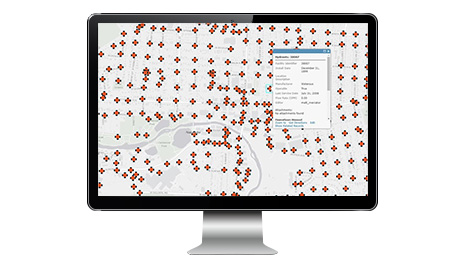
To address aging infrastructure, leaks, and the potential for severe main breaks, White House Utility District in Tennessee provides wide access to GIS data and water-loss apps. Now staff can quickly isolate underground leaks, respond faster to main breaks, and prioritize capital improvement spending based on GIS data.
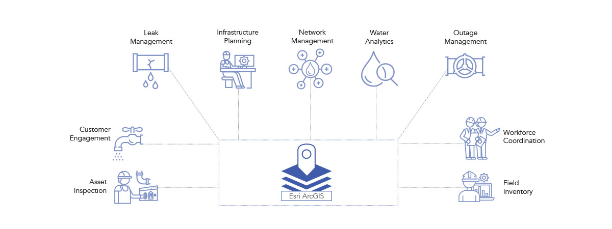
Collect high-accuracy asset locations, quickly perform condition inspections and capture asset data with Esri’s location-based field applications
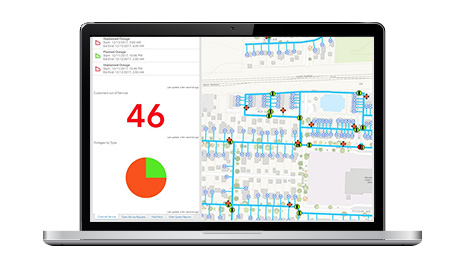
Manage planned and emergency outages with tools such as:
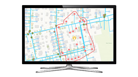
ArcGIS helps you better understand boundaries, main and valve locations and sizes in each zone, affected meters and who your customers are in each zone.
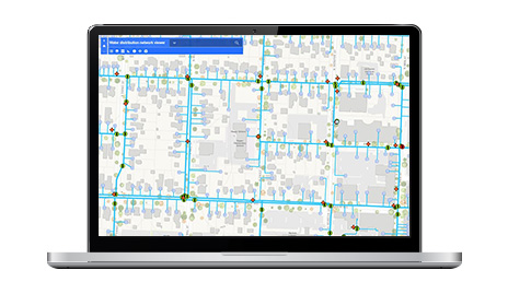
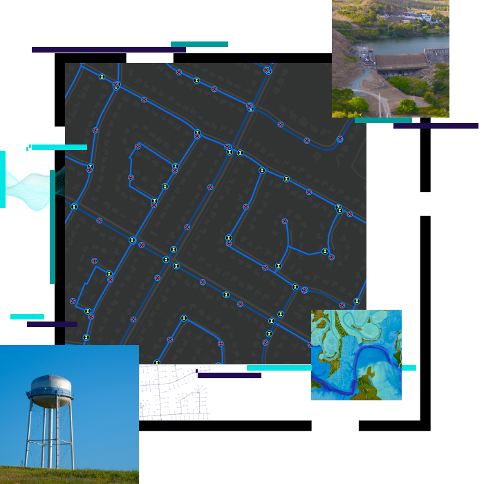
ArcGIS gives water departments a complete set of tools to store, edit and manage data in a way that fits with your existing processes.
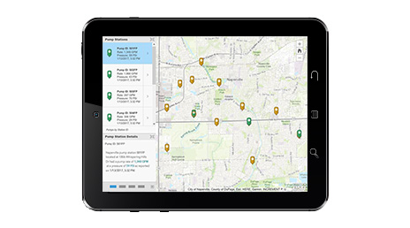
GIS gives you the ability to tap into, analyze and display streaming data from many sensors, devices, vehicles, and social media feeds. Tap into the Internet of Things (IoT) for real-time insights by connecting your real-time information from virtually any source to ArcGIS to create a real-time digital twin of your water utility.

Discover and communicate meaningful patterns in your data using Water Analytics. With Water Analytics you can:
Questions about buying ArcGIS, pricing or need support? Email us at solutions@esribelux.com
Visit our support page
Speak with a representative