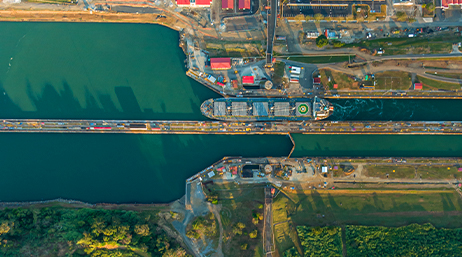
Actionable intelligence at the Panama Canal
Nearly 14,000 ships transit the Panama Canal annually. GIS helps maintain up-to-the-minute situational awareness of the operation.
Explore resources for ports and connect with industry experts
To facilitate the protection of life, safety, and property during severe weather, Port of New Orleans implemented GIS in their emergency operations.
Actionable intelligence at the Panama Canal
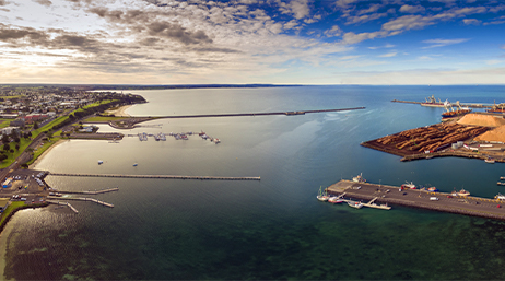
Port of Portland: Increasing efficiency with GIS
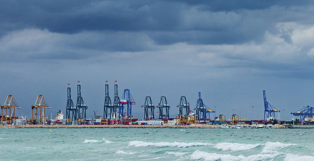
Better decision-making at San Pedro Bay Port
Join the geospatial conversation, ask your questions, or browse the forums.

Instructor-led and self-paced options help individuals apply best practices and quickly learn ArcGIS software. Esri training consultants provide complimentary planning services to identify the options that will best meet an organization's immediate, short-term, and long-term workforce training needs.

Esri partners offer specialized solutions built on ArcGIS to solve your real-world challenges.
Sign up to receive the latest news, updates, and helpful tips for transportation professionals.