Data Visualization
Make an impact with interactive 2D and 3D maps
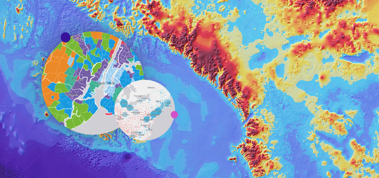
2D visualization
Incorporate beautiful 2D visualizations into your applications. Style your maps with thousands of features and visualizations based on multiple variables.
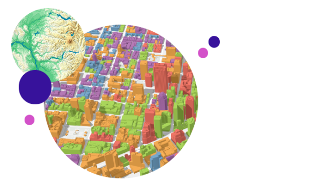
3D visualization
Visualize your data in its real-world 3D context through 3D models of buildings, landscapes, cities, or even the entire globe.
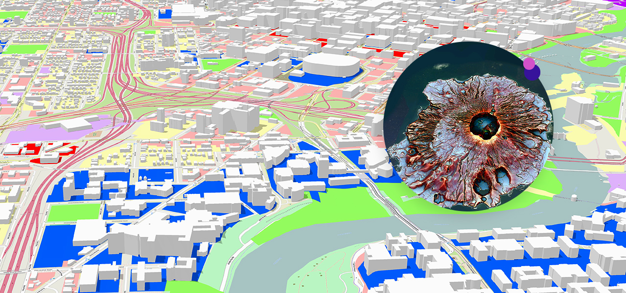
Smart mapping
Use your data to quickly create beautiful and informative maps. Smart mapping takes advantage of data-driven styling and intelligent defaults that are tailored to your data to help eliminate the guesswork when setting your map properties.

Need more information?
Email us
Questions about buying ArcGIS, pricing or need support? Email us at solutions@esribelux.com
Contact customer support
Visit our support page
Call us
Speak with a representative