What can I do with ArcGIS Image Server?
How it works

Manage imagery
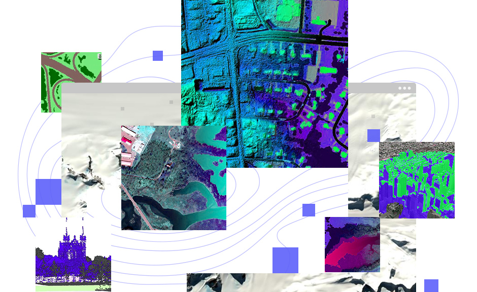
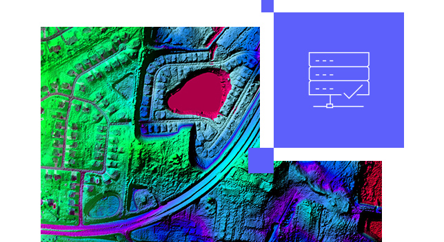
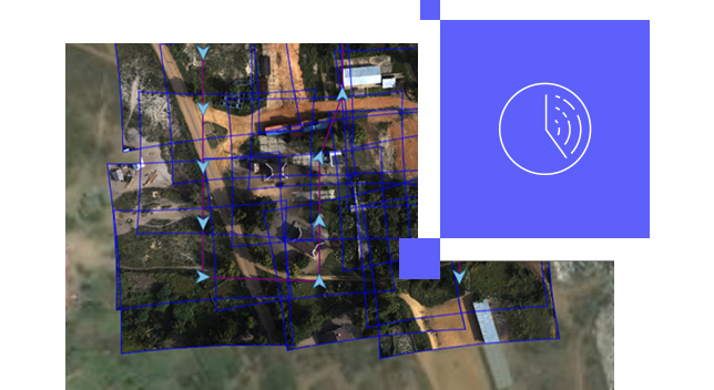
Manage and host massive collections of imagery and raster data using your infrastructure—on premises, in the cloud, or as a hybrid deployment.
Stream imagery
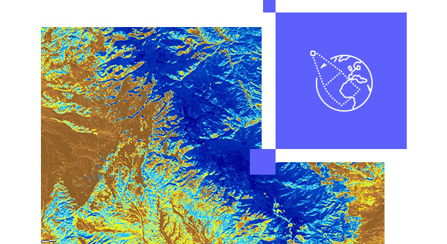
Make accessible massive imagery collections, including orthomosaics, multidimensional, categorical , elevation data, and imagery from sensors.
Analyze imagery
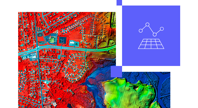
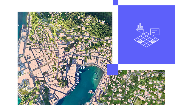
Use an extensive suite of raster functions, tools, templates, and APIs to power your raster analytics.
Resources
Précédent
Suivant
Need more information?
Email us
Questions about buying ArcGIS, pricing or need support? Email us at solutions@esribelux.com
Contact customer support
Visit our support page
Call us
Speak with a representative
