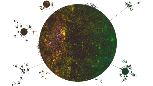
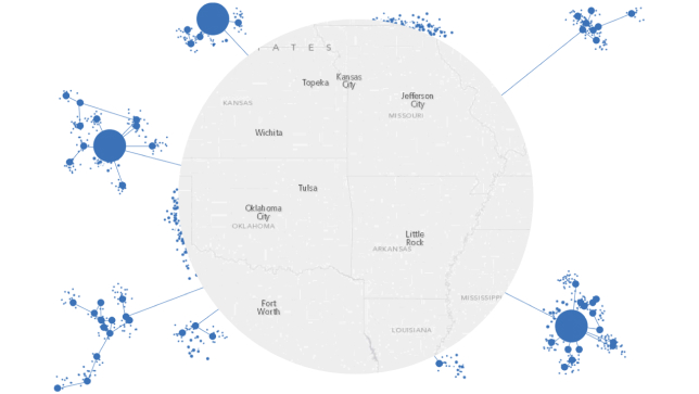
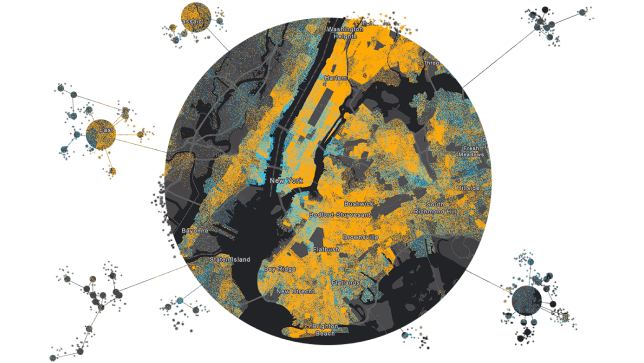
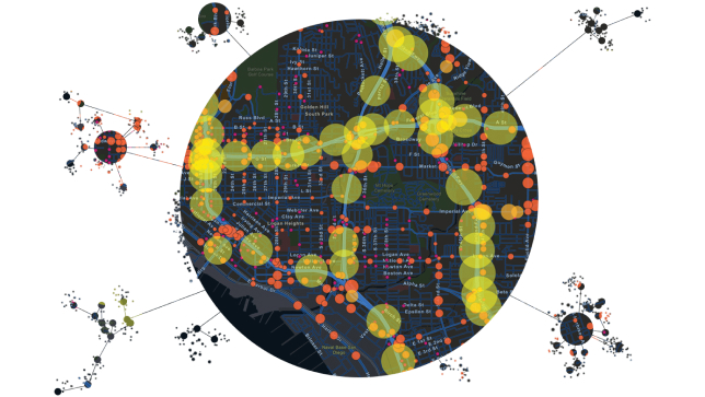
ArcGIS GeoAnalytics Server

Accélérez vos flux de travail d'analyse

Image graphique d'un globe bleu recouvert d'une grille hexagonale, superposée à une photo d'une tour de réception cellulaire et d'un lecteur de carte de crédit portatif.

ArcGIS GeoAnalytics Server étend les capacités d'ArcGIS Enterprise, en fournissant une collection variée d'outils d'analyse qui vous permettent d'analyser rapidement vos données dans l'espace et dans le temps. Les données qui étaient auparavant trop volumineuses ou trop complexes à analyser peuvent désormais être examinées en profondeur, comprises et utilisées pour prendre des mesures. Tirez parti de la puissance de plusieurs serveurs pour mener à bien votre travail.

Faites plus avec vos données

Connect your data

Harness all your data, regardless of where it is stored. ArcGIS GeoAnalytics Server works with many data sources, from Hadoop Distributed File System (HDFS) to cloud stores and your existing GIS data. GeoAnalytics Server tools can also be used to merge, join, and manage different datasets.

Read the blog
A graphic of a dark cluster dot map enclosed a large circle, connected to multiple small clusters of different-sized circles,A graphic of a dark cluster dot map enclosed a large circle, connected to multiple small clusters of different-sized circles

Accelerate your workflows

Take your familiar data management and analysis workflows to scale. Run analysis in one pass instead of multiple batches. ArcGIS GeoAnalytics Server is designed to crunch through big datasets quickly to reduce the time you spend on processing, so you have more time to visualize, share, and act on your results.

Learn more
A graphic of a white map of a section of the United States enclosed in a circle, connected to multiple small clusters of different-sized blue circles,A graphic of a white map of a section of the United States enclosed in a circle, connected to multiple small clusters of different-sized blue circles

Perform spatial analysis

Use analysis tools to identify data patterns that were previously lost in noise. Find clusters of events and hot spots of activity. Use regression tools to find relationships between datasets and predict future events. Or keep it simple and learn about your data using simple aggregations.

Explore the tools
A graphics of a dark heat map with blue and orange markings,A graphics of a dark heat map with blue and orange markings

Make data-driven decisions

Take control of your data and turn noise into intelligence. When you leave your data unexplored, you miss out on important insights. With GeoAnalytics Server, you can bring new, faster analysis workflows to your organization to start seeing your data in a new way. Use your findings to make smarter, data-driven decisions.

Play the demo
A graphics of a dark dot map with yellow and orange markings, connected to multiple small clusters of different-sized circles,A graphics of a dark dot map with yellow and orange markings, connected to multiple small clusters of different-sized circles

What you get

Précédent
Suivant

Industry Use Case

Electric and Gas

Prioritize maintenance activities and mitigate problems. Model and analyze your sensor data to determine consumption patterns and swings.

Learn more about this solution

Big Data commence avec ArcGIS GeoAnalytics Server

Explorez et analysez des données complexes et volumineuses avec ArcGIS GeoAnalytics Server, optimisé par ArcGIS Enterprise. GeoAnalytics Server vous permet de détecter des modèles, d'améliorer les flux de travail et d'augmenter vos résultats.

ArcGIS Enterprise

ArcGIS Enterprise

ArcGIS Enterprise, système fondamental pour les SIG, fonctionne derrière le pare-feu sur site ou dans le nuage et offre des fonctionnalités complètes grâce à des applications et des capacités supplémentaires.

En savoir plus sur ArcGIS Enterprise
ArcGIS GeoEvent Server

ArcGIS GeoEvent Server

Obtenez une connaissance situationnelle des données en continu avec ArcGIS GeoEvent Server, optimisé par ArcGIS Enterprise. Surveillez les actifs et analysez et affichez les données pour prendre de meilleures décisions.

Découvrez ArcGIS GeoEvent Server

Besoin de plus d'informations ?

Écrivez-nous

Des questions sur l'achat d'ArcGIS, les prix ou besoin d'assistance ? Envoyez-nous un email à solutions@esribelux.com

solutions@esribelux.com

Contactez le support client

Visitez notre page de support

Visitez

Appelez-nous

Parlez à un représentant

32 (0)2 460 74 80