
Chicago RTA transforms rider experience with GIS
The Chicago Regional Transportation Authority (RTA) used GIS to understand and fulfill riders’ needs while enhancing the services they provide.
Centralina Regional Council and Charlotte Area Transit System use GIS to improve transportation and access to services in a diverse region.

Chicago RTA transforms rider experience with GIS

San Francisco MTA connects people to opportunity
Case Study

ProRail improves transportation infrastructure

Italian Rail innovates and achieves smart goals

Optimizing Phoenix transit with GIS
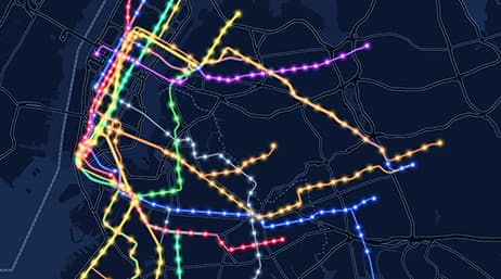
NY MTA: Systems in motion

Saving time in Phoenix

Movia improves operations, planning, and service

Transforming Metro with GIS

Nashville WeGo reimagines transit
Case Study
Contribute your success stories and tell others about GIS technology solutions.
Visit Esri’s transit community site to read the latest blogs and product news.

Esri partners offer specialized solutions built on ArcGIS to solve your real-world challenges.
Sign up to receive the latest news, updates, and helpful tips for transportation professionals.