The Integration of GIS in Education
June 10, 2024 | Thomas Bettens | Education
Luc Zwartjes, a GIS teacher and trainer, shares his extensive experience and insights on integrating GIS into education and its impact on future.


Discover a range of inspiring workshops designed to give you hands-on experience with the latest GIS technologies and trends. Our workshops are tailored to spark curiosity and build practical skills.
Don’t miss out on the chance to learn from experts and apply your knowledge in real-time!
Gain valuable insights from real-world GIS applications through inspiring use cases presented by industry leaders. Discover how GIS is making a difference in various sectors, including:
Check out the full program below. All these exciting use cases demonstrate the power and versatility of GIS in solving real-world challenges.
| Time | Program Highlights |
| Morning: Use Cases | |
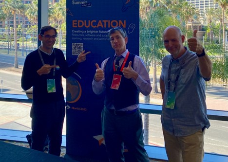
| 09:00 - 09:15 | Welcome Message from Esri BeLux |
| Presented by Frederik Wauters | |
| 09:15 - 09:45 | A future proof digital policy, leveraging geodata to answer societal challenges. |
| Tony Vanderstraete (Digitaal Vlaanderen) | |
| 09:45 - 10:00 | GIS: Unlocking the Power of Spatial Data |
| Frederik Waûters (Esri BeLux) | |
| 10:00 - 10:20 | GIS at the Oosterweelverbinding |
| Lantis | |
| 10:20 - 10:40 | Smart Building, Smart Infrastructure, or Smart Environment: The Need for Surveyors & Geographers |
| MEET HET | |
| 10:40 - 11:00 | Coffee Break |
| 11:00 - 11:20 | Strong Together by Map and Quay |
| Maxine Jonckheere (North Sea Port) | |
| 11:20 - 11:40 | Mapping of the STIB-MIVB network for customers |
| STIB Brussels | |
| 11:40 - 12:00 | Discover the World from your Pocket: Creative Learning with Drone2Map and Smartphone Images |
| Patrick Bruylants (Bru-Gis) | |
| 12:00 - 13:20 | Lunch Break |
| Afternoon: Workshops (rotation) | |
| 13:20 - 14:20 | Building An Interactive Web Map: Visual Storytelling with ArcGIS |
| Seppe Heyvaert | |
| 14:20 - 14:30 | Room Switch |
| 14:30 - 15:30 | From Maps to Apps: Unlocking the Power of ArcGIS Online |
| Romane de Walque | |
| 15:30 - 15:40 | Room Switch |
| 15:40 - 16:40 | Datavindplaats × Geopunt: Jouw Shortcut naar betere GIS‑resultaten |
| Digitaal Vlaanderen | |
| 16:40 - 17:45 | After Drink & Networking |
The Integration of GIS in Education
June 10, 2024 | Thomas Bettens | Education
How GIS Transforms the Management of School Assets
April 7, 2024 | Thomas Bettens | Education