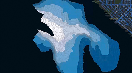
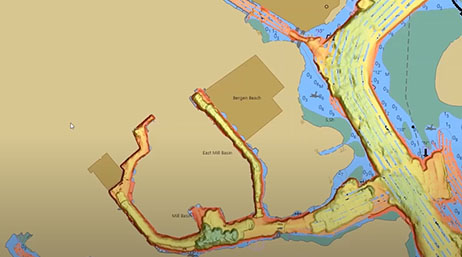
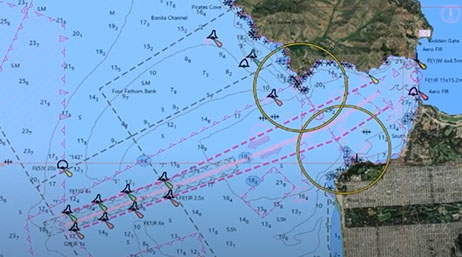
Automated Bathymetry for Nautical Charting
National maritime
Learn how to leverage tools in ArcGIS Pro to automate the generation of bathymetric features for use in navigational charts.


| Date | Event | Location |
|---|---|---|
| July 15–19, 2024 | Esri User Conference | San Diego, CA |
| Date | Event | Location |
|---|---|---|
| January 8–11, 2024 | HYPACK 2024 | Savannah, Georgia, United States |
| May 27–30, 2024 | Canadian Hydrographic Conference | St. John's, Newfoundland and Labrador, Canada |
| November 5–7, 2024 | Hydro 2024 | Rostock-Warnemunde, Germany |
Automated Bathymetry for Nautical Charting
National maritime
Automated Workflows & Machine Learning Techniques
National maritime

Hydrospatial Infrastructures: The New MSDI
National maritime
Integrated Hydrospatial Workflow
National maritime
What's New in ArcGIS Maritime
National maritime
Hydrographic Applications of AI and DL
National Mapping
MSDI and Hydrospatial Infrastructure
National maritime
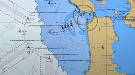
ArcGIS for Maritime
National maritime
Maritime Modernization
National maritime
| Date | Event | Location |
|---|---|---|
| Ongoing | National Government webinar series | Virtual |
| Date | Event | Location |
|---|---|---|
| Ongoing | National Mapping webinars and events | Virtual |
| Date | Event | Location |
|---|---|---|
| Ongoing | National Aviation webinars and events | Virtual |