
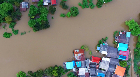
Dubuque tackles flood-prone streets with GIS
ESRI BLOG
To fix chronic flooding, Dubuque planners use 3D GIS technology to restore resilience to neighborhoods.
Explore resources for emergency management agencies and connect with industry experts.
Discover how the Center for Robot-Assisted Search and Rescue created GIS maps in the wake of Hurricane Ian to guide emergency responders.
Dubuque tackles flood-prone streets with GIS
ESRI BLOG

Miami Beach prioritizes mitigation projects
ArcNews

Extreme-heat events spur climate action
ESRI BLOG

Cape Cod saves shoreline from climate effects
ESRI BLOG

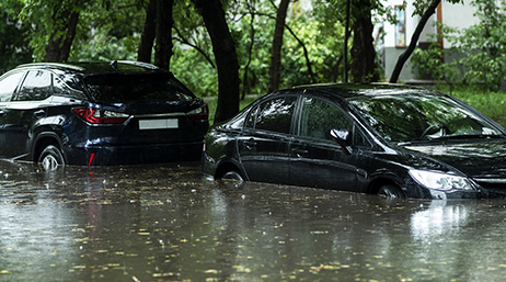
Stream data improves flood mitigation
ESRI BLOG

Maintaining a common operating picture
USER STORY

Keeping the Rose Parade on track
ESRI BLOG

Real-time GIS keeps city safe for NCAA Final Four
ESRI BLOG

Enhancing situational awareness for response
USER STORY

Managing the Chicago Marathon with Real-Time GIS
ESRI BLOG

Complex security demands real-time GIS
ESRI BLOG
Oklahoma crowdsources damage
ESRI BLOG

Key West collects assessments after hurricane
ESRI BLOG
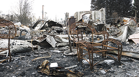
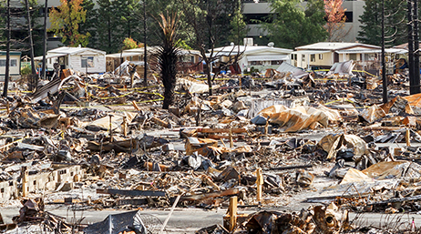
CAL FIRE's Damage Inspection Program
Students respond to the Great Flood of 2019
ArcUser
UN's search and rescue network is guided by GIS
ESRI BLOG

FEMA utilizes GIS and AI for damage assessments
ESRI BLOG
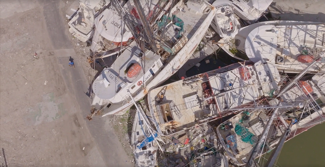
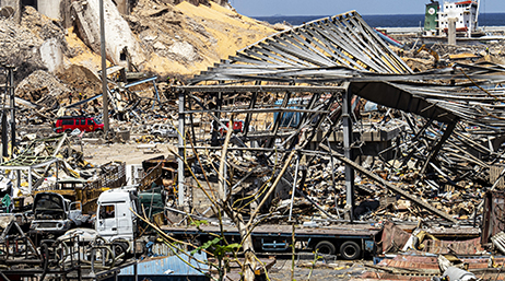
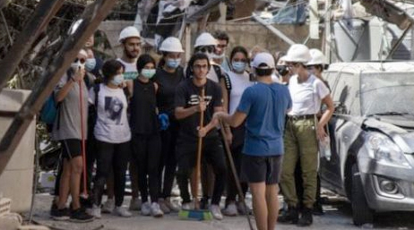
A Plan for Cleaning Up Disaster Debris
ArcNews
Cal OES debris operations dashboard
DASHBOARD
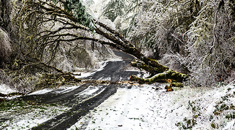
Salem, Oregon, manages ice storm tree damage
ArcGIS StoryMaps

Creating the Dashboard for the Pandemic
ArcUser
Urban search and rescue network gains awareness
ESRI BLOG

American Red Cross and partners work from one map
ESRI BLOG

Map connects earthquake victims with critical aid
ESRI BLOG

WFP Guides Operations with Online GIS Apps
ESRI BLOG
Join the geospatial conversation with others in the global community of Esri users. Find solutions, ask questions, share ideas, or browse the forums, and collaborate to solve problems with GIS.

Safety and Security Summit @Esri UC | Watch the proceedings and save the date

Instructor-led and self-paced options help individuals apply best practices and quickly learn ArcGIS software. Esri offers these ArcGIS courses, designed for public safety workflows, to help you gain deeper insight into your organization's data for making well-informed decisions.

Esri partners offer specialized solutions built on ArcGIS to meet your real-world challenges.
Speak with a representative.