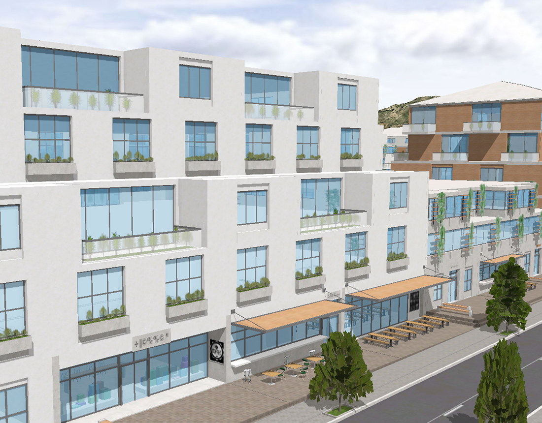
Urban Design and Visualization

ArcGIS Urban is integrated with ArcGIS CityEngine, a desktop procedural modeling tool. CityEngine can transform massing studies into detailed urban designs for visualization and virtual reality experiences.

Design advancement and visualization

CityEngine connects directly to plans and projects in ArcGIS Urban for design advancement and visualization of detailed building facades and streetscapes.

Share a virtual walking tour

Create custom VR templates for Unreal Engine to gain more buy-in and ensure that residents can experience the visuals during community workshops.

Conduct real-time analysis

Evaluate viewshed and other spatial characteristics of projects with exploratory analysis tools.

Create custom procedural rules

Write and edit your own Computer-Generated Architecture (CGA) rules, a unique programming language to generate architectural 3D content.

Need more information?

Email us

Questions about buying ArcGIS, pricing or need support? Email us at solutions@esribelux.com

solutions@esribelux.com

Contact customer support

Visit our support page

Visit

Call us

Speak with a representative

32 (0)2 460 74 80