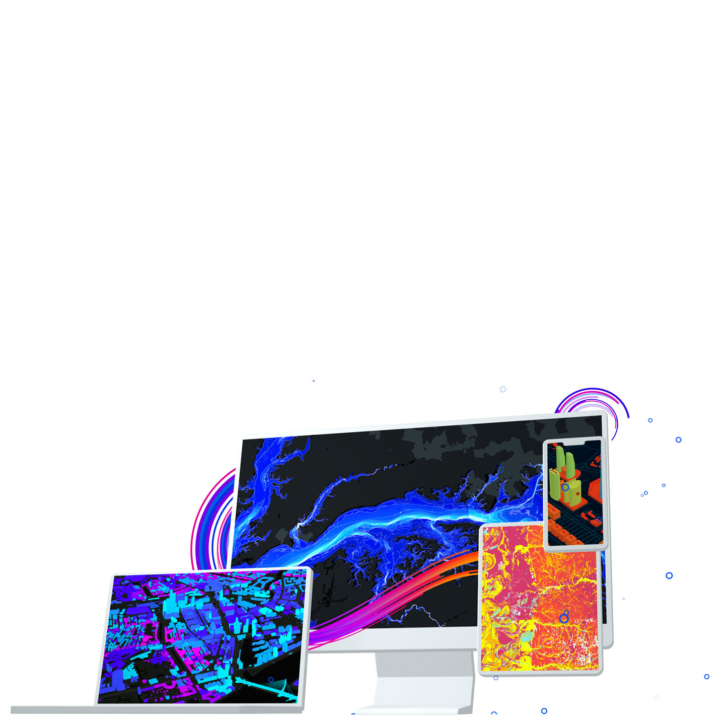

ArcGIS Pro
The world's leading desktop GIS software
A powerful geospatial tool built for you
Featuring a robust set of capabilities, ArcGIS Pro allows you to visualize, analyze, and share projects with your team or anyone around the world.

Transform data into maps and actionable information
Combine multiple data sources to make maps that are as smart as they are beautiful. Use scientific analytical tools on 2D, 3D, and 4D data to identify patterns, make predictions, and answer questions. Quickly share projects and information within your organization, online, and through mobile apps.
 Exploration and Visualization
Using 3D exploratory analysis, investigate your data by interactively creating graphics and editing analysis parameters on-the-fly. Interactive GIS tools help you to create analytical objects by clicking on the scene or using input source layers. Manipulate analysis parameters and receive real-time visual feedback.
 Cartography and Design
Easily and accurately add your customized data to meet today's cartographic and design standards. Compile your data with just a few clicks and bring your projects into Adobe Illustrator with the new AIX export capability. ArcGIS Pro’s deep symbology tools, performant rendering, and vast support of geospatial formats merges the domains of analysis and presentation. Take your projects further and tell the story you’ve always envisioned.
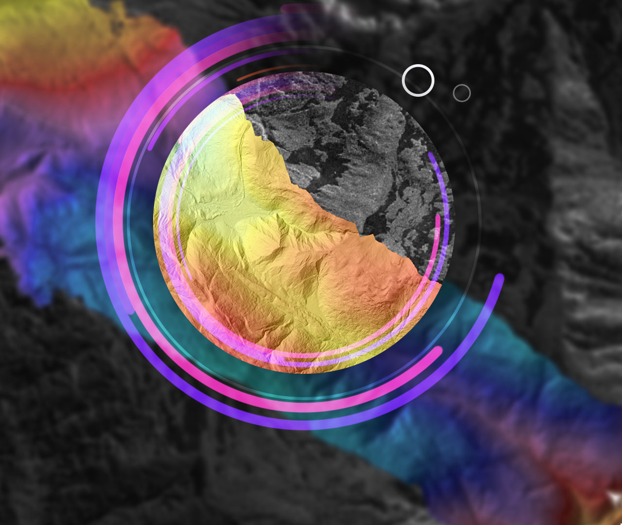 Imagery and Remote Sensing
ArcGIS Pro provides a collection of powerful tools to visualize, manage, and analyze large collections of imagery and raster data from drones, satellites, lidar, and more.
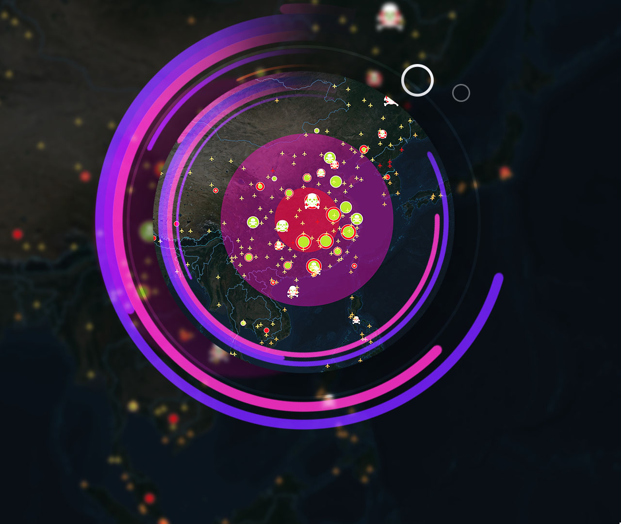 Analytics and Data Science
Understand the world around you. Use scientific mapping analytical tools on 2D, 3D, and 4D geospatial data to identify patterns, make predictions, and answer questions.
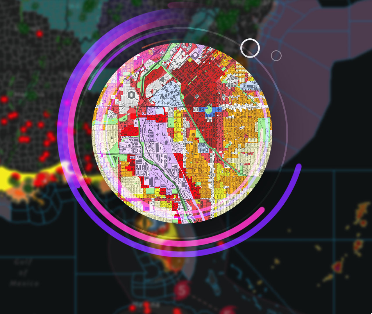 Data Management
Desktop GIS software ensures data integrity with a complete set of tools for storing, editing, and managing various forms of spatial data—including big and real-time data.
 Share Your Work
Quickly author and discover content and digital maps all within ArcGIS Pro. Discover created work from within your organization or worldwide from the ArcGIS user community. Seamlessly access cloud-based content such as the ArcGIS Living Atlas of the World and share your work throughout the ArcGIS platform.
 Customize and Create
Reimagine ArcGIS Pro with add-ins and configurations developed with the ArcGIS Pro SDK for .NET. Create, customize, and perfect your ideal ArcGIS Pro environment.
 Launch New Capabilities
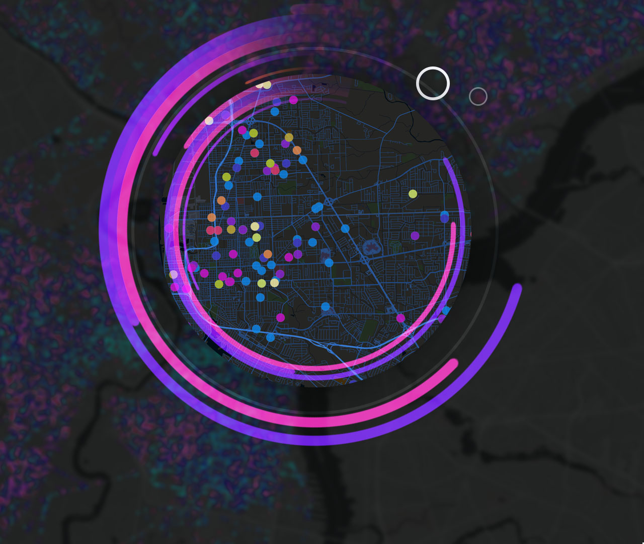
Discover Voxel layers, a 3D volumetric layer to visually analyze and explore your complex multidimensional data. Manage your 3D and 4D parcel data, run analysis with Trace networks, Python Notebooks, Geodatabase replication workflows and so much more. Add your work from ArcGIS Pro to Adobe Illustrator to finalize your design project.
How ArcGIS Pro works

Access to the entire ArcGIS suite
Purchasing ArcGIS Pro doesn't just get you the world's most powerful desktop GIS software, but also access to a suite of apps, tools, and data.

ArcGIS Online
Connect people, locations, and data using ArcGIS Online. Manage your content in the cloud and share your work with the world on the web, apps, and social media.
Learn about ArcGIS OnlineArcGIS Living Atlas
Enhance your maps with the foremost collection of geographic information from around the globe; access basemaps and integrate data from authoritative sources.
Learn about ArcGIS Living AtlasArcGIS Solutions
Transform your use of ArcGIS with ArcGIS Solutions, a collection of focused maps and apps designed to address the unique challenges your organization faces. Leverage contemporary ArcGIS capabilities included in your ArcGIS Pro license and apply them directly to business needs.
Learn about ArcGIS SolutionsSoftware development tools
Build your own GIS applications for desktop, web, and mobile devices with Esri's ArcGIS APIs and SDKs.
Learn about Esri’s developer toolsPurchasing options for ArcGIS Pro
Explore licensing options and pricing for ArcGIS Pro.
Need more information?
Email us
Questions about buying ArcGIS, pricing or need support? Email us at solutions@esribelux.com
Contact customer support
Visit our support page
Call us
Speak with a representative