

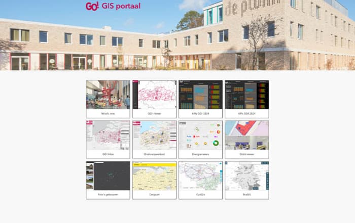
How GIS Transforms the Management of School Assets
A New Map for Education In the world of educational heritage management, a quiet revolution is underway, one that fundamentally changes the way we think about school buildings and grounds. The Infrastructure Department [...]
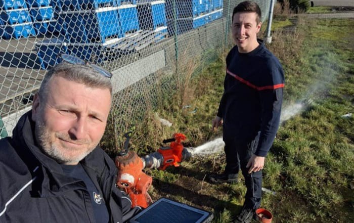
Efficient GIS Solutions for effective emergency response
Discover the GIS possibilities The Hainaut Centre Emergency Response Zone is a supra-municipal structure covering 28 highly populated municipalities - with a total of about 550,000 inhabitants. Their missions? Firefighting operations and urgent [...]
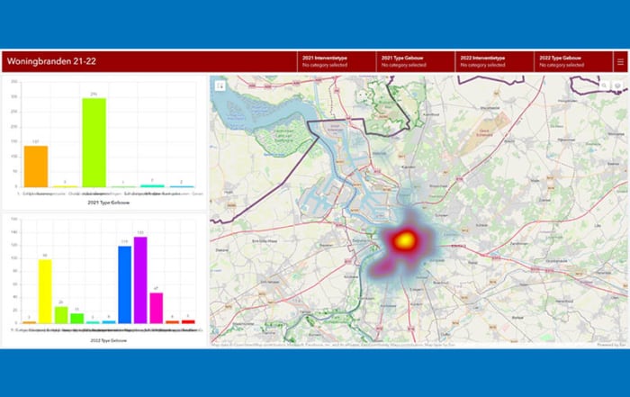
Fire brigade zone Antwerp: Innovation in Action
Discover the GIS innovation It is an exciting time for Brandweer Zone Antwerpen (BZA) as they gear up to embrace their digital revolution. In a conversation with Laura Verhulst, GIS Expert at BZA, [...]
We build ArcGIS, the world’s most powerful mapping and spatial analytics software. We believe The Science of Where can unlock data’s full potential in every organization. We are the global market leader in GIS and have helped customers improve results.


3 ways to contact the Esri BeLux Support Team
Click here to fill in our Support Form